
DEAR News Of The Area,
PORT Macquarie-Hastings Council has begun notifying property owners about its updated Draft Hastings River Flood Study, leaving many residents questioning what the new mapping could mean for their properties, insurance costs and future plans.
I recently received a letter advising that my property has been identified as potentially affected during a Probable Maximum Flood (PMF) event.
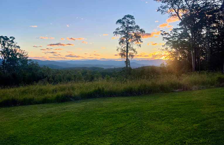
My home sits approximately 230 metres above sea level, so I was fairly confused and surprised by the letter.
So, what exactly is a PMF? According to council, a Probable Maximum Flood is the largest flood that could conceivably occur at a particular location.
It is an extremely rare and improbable scenario, estimated using theoretical maximum rainfall combined with the worst flood-producing catchment conditions.
It is not the same as a one-in-100-year flood, but an extreme event used to understand the potential limits of flooding and inform emergency planning.
While the likelihood of such an event is extremely low, being included on flood mapping can still have real-world consequences.
Many insurers do not allow customers to exclude flood cover, raising concerns that some property owners could face significant increases in premiums, potentially costing thousands of dollars.
Council has emphasised that receiving a letter does not mean a property has been rezoned, is unsafe to live in, requires immediate works, or is automatically prohibited from future development.
However, flood mapping can influence planning certificates and future development applications, leaving owners wondering how their property may be affected in the long term.
For properties like mine, parts of the land along creeks already have strict planning controls and would never be suitable for development.
This raises questions about the practical implications of additional mapping for landholders, particularly when it may create further concern without necessarily changing what can be done on the property.
The study has undergone further technical investigations following community feedback on the previous draft exhibited in 2025.
Council says the updated modelling includes further assessment of dune breach and riverbed scour, with revised PMF modelling identifying additional properties as potentially flood-prone.
However, the technical report acknowledges limitations in the available data, including limited riverbed survey coverage and the absence of surveyed high-water marks for the May 2025 flood event.
These limitations do not automatically mean the modelling is incorrect, but they are reasonable grounds for residents to ask questions about the assumptions and reliability of the results.
Given the potential implications for insurance premiums, property values and future development, Council must clearly explain how the modelling was developed, how many properties are now affected and how much ratepayer money has been spent preparing and revising the study.
The implications could extend to everyday property improvements. If the mapping results in a property being classified as a flood control lot, works that would normally qualify as exempt development, such as retaining walls and landscaping, could require development consent. This could mean extra costs, paperwork and delays just to make minor improvements on your own land.
The fact that the study has returned for further review after the previous exhibition also raises questions about whether residents’ concerns have been adequately addressed and whether the process has delivered value for money.
Residents are encouraged to review the updated draft, check how their property is identified and make a submission if they have concerns.
Even if a PMF is highly unlikely, the potential consequences of being mapped as flood-prone deserve serious consideration.
If your property has been identified, now is the time to speak up.
The implications could extend well beyond a line on a flood map: The community deserves clear answers before the study is finalised.
The study and feedback information are available through council’s Have Your Say website.
Regards,
Kate Shelton,
Telegraph Point.